GIS

Back to the Basics: GIS Training at Sain

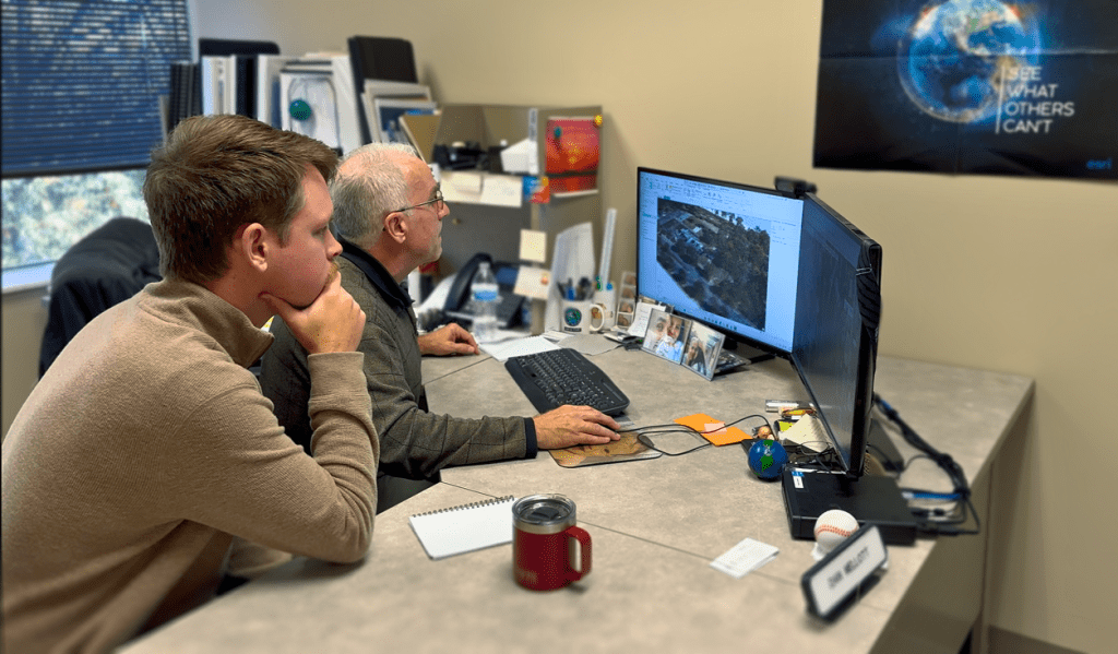
In today’s GIS environment, it’s easy to focus on the next custom application, automation, or advanced workflow. At Sain, we build those solutions every day. But in the pursuit of innovation, I’ve seen something consistent across organizations of all sizes: core GIS skills quietly erode over time. Fundamental skillsets like editing, analysis, and cartography are…
Read More

Honoring Our Veterans: A Conversation with Dan Mellott

As we pause to honor Veterans Day, Sain proudly recognizes and thanks all who have served and continue to serve our country. Today, we shine a special light on our very own IT Director, Dan Mellott, whose dedication and service exemplify the values of commitment, teamwork, and integrity that we hold dear at Sain. Dan…
Read More

Advancing GIS Across Alabama

When I first joined what is now the Geographic Information Systems Association of Alabama (GISAA) in the mid-2000s, the organization was known as the Alabama Chapter of the Urban and Regional Information Systems Association (URISA). I started as a passive participant, but my involvement deepened in 2014 when I served as the Central Region representative….
Read More

GIS for Severe Weather: More Than Just a Pretty Map

Severe weather conditions are common throughout the Southeast. Whether it is tornado and hurricane season or a snow and ice storm, there are many benefits of utilizing Geographic Information Systems (GIS) during these conditions that people may not normally consider. During severe weather, GIS capabilities are more than likely used in some capacity to assess…
Read More

Mapping Wastewater Systems with GIS

It’s not unusual for counties and cities to have old, outdated information about their systems, such as water and wastewater utility systems. I’ve seen these situations many times throughout the years, and a Geographic Information System (GIS) is a perfect solution for turning existing data into something that’s much more useful. We recently worked on…
Read More

Take Advantage of On-Call GIS Services

Municipalities contract with engineering consultants to provide on-call geographic information systems (GIS) services for various reasons. Some of these reasons include the need for specialized expertise that may not be available in-house, the desire to supplement existing staff during peak workloads, and the need for flexibility in staffing levels. Additionally, working with consultants can sometimes…
Read More

Shelby County Broadband

In recent years, broadband has become a hot topic of conversation. Openly considered an essential infrastructure, providing access to broadband in rural areas is connected to economic development, lower unemployment rates, increased home values, and educational improvements. The first step to determining whether broadband projects in rural areas are viable is to conduct a Broadband…
Read More

Diversifying with GIS & CE&I

In last week’s blog, we highlighted the history of civil and traffic engineering at Sain Associates, and on Tuesday, Joe Meads shared the history behind our surveying team. Today, we’ll explore the story behind geographic information systems (GIS) and construction engineering and inspection (CE&I) services. As we celebrated our firm’s 40th anniversary in 2012, we…
Read More

Push for Electric Vehicle Infrastructure

There are over 1.8 million registered electric vehicles in the United States, a threefold increase from 2016. As electric vehicle (EV) batteries become lighter and the travel range increases, electric vehicles will become increasingly prevalent across the country. The rise in electric vehicles on our roadways has led to an increased demand for EV charging…
Read More

Sain’s Geographic Information Systems

Geographic Information Systems (GIS) allow you to visualize, question, analyze, interpret, and understand data to reveal relationships, patterns, and trends. At Sain Associates, we use GIS to support the following engineering activities: converting GIS data to and from CAD, generating aerial clips and 3D contours for design projects, creating GIS-based analysis and report maps for…
Read More