At Sain, we’re always looking for ways to improve how we collect data and support our clients’ projects. One of the most exciting recent additions to our surveying toolkit is a new drone equipped with LiDAR technology. What excites me the most about this technology is simply seeing the capabilities it brings to our work and how it can enhance the services we provide.
Introducing Our New Drone Technology
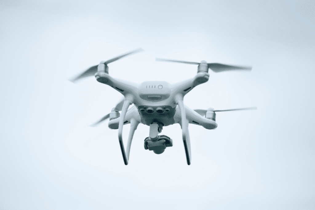
We recently added an Inspired Flight IF800 Tomcat drone equipped with a GeoCue 535 LiDAR payload to our surveying capabilities. This setup allows us to perform aerial LiDAR surveys, giving us the ability to collect highly detailed surface data from above.
LiDAR (Light Detection and Ranging) technology works by sending laser pulses toward the ground and measuring how long it takes for those pulses to return. This process creates a digital representation of the terrain and surrounding features.
The primary goal of the LiDAR technology is to create a detailed surface file, but it also captures a significant amount of additional information. For example, LiDAR data can identify features such as roadway paint stripes, overhead utility infrastructure, buildings, and other site characteristics. This level of detail helps our engineering teams better understand project conditions during design and planning.
Faster Data Collection
One of the biggest advantages of using drone LiDAR is the speed at which we can collect data. Compared to conventional surveying methods, this technology can reduce field time by approximately 40 to 60 percent.
While there is additional office work involved in processing the LiDAR data, the ability to capture more information in less time allows us to deliver detailed datasets more efficiently and support projects with aggressive schedules.
Improving Safety for Survey Crews
Another major benefit of drone surveying is improved safety. In traditional surveying, crews sometimes need to work in areas that can present risks, such as busy roadways or unstable terrain.
With the drone, we can collect much of the necessary data from the air. This allows us to map heavily traveled roadways without requiring our field crews to enter the roadway. It also helps us safely survey challenging areas such as quarries and old borrow pits, where walking the site could be dangerous.
Reducing the amount of time our surveyors spend in hazardous conditions is a significant advantage of this technology.
Applications Across Multiple Project Types
Drone LiDAR surveying can benefit a wide range of projects. At Sain, I expect to see the biggest impact on site/civil and transportation projects, where surface information is critical to the design process.
By capturing large amounts of data quickly, we can help project teams better understand existing conditions and reduce the likelihood that important site features are missed or overlooked.
Deliverables for Our Clients
The typical deliverable from a drone LiDAR survey is still a surface file, which engineers use for design and analysis. However, we also have the capability to provide point cloud data, which contains the full dataset collected during the LiDAR scan.
These datasets give engineers and project teams a detailed view of the site, supporting everything from planning and design to construction coordination.
Looking Ahead
Adding this drone to our surveying capabilities allows us to collect more detailed data, work more efficiently, and improve safety for our crews in the field. As the technology continues to evolve, I’m excited to see how it will further enhance the way we support our clients and their projects.